Lemosho route
The 7-day Lemosho route starts at Lemosho Gate (via Londorossi) and finishes at Mweka Gate. It covers about 67 km (42 mi), reaches Uhuru Peak (5,895 m) via Stella Point, and costs $2,000 per person.
Starts on the quiet western side of the mountain, through remote forest and across the whole Shira Plateau, before joining the southern circuit to Stella Point and Uhuru Peak. [NEEDS JOSEPH'S OK]
Key facts
- Duration
- 7 days
- 6 nights on the mountain
- Total distance
- 67 km
- 42 mi, the daily distances added up
- Highest point
- 5,895 m
- 19,340 ft, Uhuru Peak
- Summit via
- Stella Point
- Sleeping in
- Tents
- Price per person
- $2,000
7-day Lemosho route
$2,000
per person
Prices can change for larger groups. Message me for your final price.
Book on WhatsAppOff the mountain I reply within a couple of hours. I'm on the mountain a lot, though, and on a climb I may only have signal once a day or every few days.
7 or 8 days?
On the 7-day version, day 2 is a long 16 km walk from the forest all the way to Shira 2. The 8-day version breaks it up with a night at Shira 1 and an easy day across the plateau, with optional walks to help you acclimatise. More days give you a better chance of reaching the summit. In the end it is your choice, but if you are at all concerned, or not a very fit or experienced hiker, I recommend the 8 days.
Recommended by Joseph for first-time climbers: it gives time to acclimatise and has a higher summit success rate.
What does the price include?
- Park fees
- All meals on the mountain
- Crew wages
- Sleeping tents
- Sleeping mattress
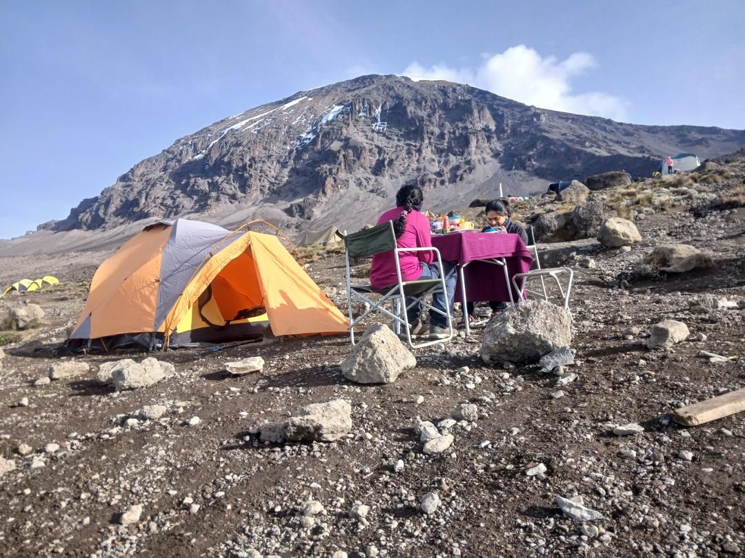
- Dining tent with table and chairs
- Transport from your hotel to the gate and back
Not included: Tips for your crew, travel insurance, gear (you can rent it from me), hotel nights before and after the climb, and any transport other than to and from the start and finish gates, such as airport transfers.
How high does the Lemosho route climb?
| Day | Stage | Start | Highest point | End |
|---|---|---|---|---|
| 1 | Lemosho Gate to Mti Mkubwa Camp | 2,360 m | 2,780 m | |
| 2 | Mti Mkubwa Camp to Shira 2 Camp | 2,780 m | 3,850 m | |
| 3 | Shira 2 Camp to Lava Tower to Barranco Camp | 3,850 m | 4,650 m | 4,000 m |
| 4 | Barranco Camp to Karanga Camp | 4,000 m | 4,250 m | 4,050 m |
| 5 | Karanga Camp to Barafu Camp | 4,050 m | 4,673 m | |
| 6 | Barafu Camp to Uhuru Peak to Mweka Camp | 4,673 m | 5,895 m | 3,090 m |
| 7 | Mweka Camp to Mweka Gate to your hotel | 3,090 m | 1,640 m |
[ROUTE MAP: Lemosho Gate, Mti Mkubwa Camp, Shira 2 Camp, Lava Tower, Barranco Camp, Karanga Camp, Barafu Camp, Uhuru Peak, Mweka Camp, Mweka Gate]
What happens each day on the 7-day Lemosho route?
Day 1: Lemosho Gate to Mti Mkubwa Camp
After breakfast and a briefing, we drive to the Lemosho park gate. From there a forest track, only passable by 4WD, leads to Lemosho Glades. We walk along forest trails to Mti Mkubwa ("big tree") camp.
- Altitude
- 2,360 to 2,780 m
- 7,740 to 9,120 ft
- Distance
- 6 km / 4 mi
- Hiking time
- 2–3 hours
- Habitat
- Montane forest
- Meals
- Lunch, dinner
Day 2: Mti Mkubwa Camp to Shira 2 Camp
The trail gradually steepens and enters the giant heather moorland. After crossing several streams we go over the Shira Ridge, past Shira 1 camp, and on to Shira 2 camp on moorland meadows by a stream. The longest day of the trek.
- Altitude
- 2,780 to 3,850 m
- 9,120 to 12,600 ft
- Distance
- 16 km / 10 mi
- Hiking time
- 7–8 hours
- Habitat
- Moorland
- Meals
- Breakfast, lunch, dinner
Day 3: Shira 2 Camp to Lava Tower to Barranco Camp
From the Shira Plateau we head east up a ridge, past the junction towards Kibo, then south-east to the Lava Tower, the "Shark's Tooth" (4,650 m). Shortly after the tower we pass the turn-off to the Arrow Glacier and descend to Barranco Camp.
You end the day at about the same altitude you started, but climbing high and sleeping low is very important for acclimatisation. It prepares your body for summit day.
- Altitude
- 3,850 to 4,000 m
- 12,600 to 13,000 ft
- Highest point on the way
- 4,650 m
- Distance
- 8 km / 5 mi
- Hiking time
- 5–6 hours
- Habitat
- Semi-desert
- Meals
- Breakfast, lunch, dinner
Day 4: Barranco Camp to Karanga Camp
We climb the steep Barranco Wall to the Karanga Valley and the junction with the Mweka Trail. A short day that gives your body more time to adjust.
- Altitude
- 4,000 to 4,050 m
- 13,000 to 13,250 ft
- Highest point on the way
- 4,250 m
- Distance
- 5 km / 3 mi
- Hiking time
- 3–4 hours
- Habitat
- Alpine desert
- Meals
- Breakfast, lunch, dinner
Day 5: Karanga Camp to Barafu Camp
We continue up to Barafu Camp, completing the South Circuit with views of the summit from many angles. We make camp, rest, have dinner and prepare for summit night.
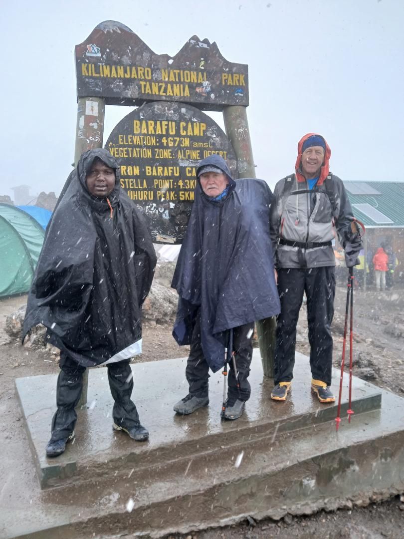
Joseph (left) at Barafu Camp, 4,673 m, in falling snow. Next to him is the oldest climber he has guided: at 87, he reached Uhuru Peak without supplementary oxygen. - Altitude
- 4,050 to 4,673 m
- 13,250 to 15,330 ft
- Distance
- 4 km / 2 mi
- Hiking time
- 3–4 hours
- Habitat
- Alpine desert
- Meals
- Breakfast, lunch, dinner
Summit day
Day 6: Barafu Camp to Uhuru Peak to Mweka Camp
We set off between midnight and 2 am, climbing between the Rebmann and Ratzel glaciers through heavy scree towards Stella Point on the crater rim. This is the hardest part of the trek, mentally and physically. At Stella Point we rest and are rewarded with the most magnificent sunrise you are ever likely to see. Faster hikers may see it from the summit.
From Stella Point it is about an hour, often on snow, to Uhuru Peak: the highest point on Kilimanjaro and in Africa.
Then we descend straight down to Mweka Camp, stopping at Barafu for lunch. Gaiters and poles help on the loose gravel. We spend our last evening on the mountain at Mweka Camp.
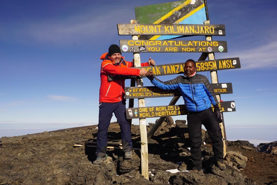
Joseph (right) with a climber at the Uhuru Peak summit sign, 5,895 m. - Altitude
- 4,673 to 5,895 to 3,090 m
- 15,330 to 19,340 to 10,150 ft
- Distance
- 5 km up, 13 km down
- Hiking time
- 5–7 h up, 5–6 h down
- Habitat
- Scree and ice-capped summit
- Meals
- Breakfast, lunch, dinner
Day 7: Mweka Camp to Mweka Gate to your hotel
We descend to Mweka Gate, where you receive your summit certificate. Lower down it can be wet and muddy, so gaiters and poles help. Shorts and a T-shirt are usually enough, but keep rain gear and a warm layer handy.
A vehicle waits at the gate to drive you back to your hotel in Moshi, about 60 minutes.
- Altitude
- 3,090 to 1,640 m
- 10,150 to 5,380 ft
- Distance
- 10 km / 6 mi
- Hiking time
- 3–4 hours
- Habitat
- Forest
- Meals
- Breakfast